
SECTION 9. CONTENTS
SECTION 9.
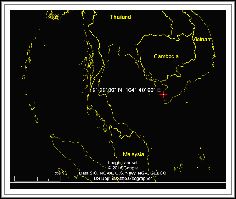
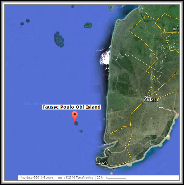
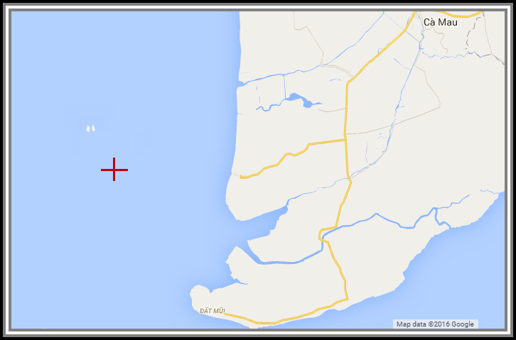
Fausse Poulo Obi Island
| ||||
| ||||
| ||||
| ||||
| ||||
|
From logs of U.S. Naval ships and Stations, 1965 - USS Savage DER-386.
[New Year's Outing 30 December, 1965 Thursday].
0812 Underway as before
0823 c/c 210
0912 c/c 180 Stationed the anchor detail
0916 Commenced steering various courses at various speeds while anchoring
0928 Anchored at Fausse Poulo Obi Island, south of Vietnam, in 12 fathoms of water, mud and sand bottom with 60 fathoms of chain to the starboard anchor on the following bearings: Fausse Poulo Obi (Lt) 022 ,
(Rt) 056 , Ile Rocky 140
o
o
o
o
o
Fausse Poulo Obi Island
Latitude in decimal degrees: 8.95 North
Longitude in decimal degrees: 104.516667 Est
Latitude Degrees, minutes, and seconds (DMS): 8° 57' 00" North
Longitude Degrees, minutes, and seconds (DMS): 104° 31' 00" Est
Military Grid Reference System: 48PVQ4686789359
Joint Operations Graphic reference NC48-15
Feature Classification: Hypsographic feature type
Feature Designation Code: ISL (Island)
Full name - reversed generic with no diacritics: Fausse Poulo Obi
Modify date: 16/10/1998
Iles de Poulo Dama
^
Ship Anchored 30 December, 1965
Fausse Poulo Obi Island
Iles de Poulo Dama
^
Île Rocky
Latitude in decimal degrees: 8.866667
Longitude in decimal degrees: 104.566667
Latitude in degrees, minutes, and seconds: 8° 52' 00" N
Longitude in degrees, minutes, and seconds: 104° 34' 00" E
Military Grid Reference System coordinates: 48PVQ5235380139
Joint Operations Graphic reference NC48-15
Feature Classification: Hypsographic type feature
Feature Designation Code: ISL (island)
Prepared and Published by the Defense Mapping Agency/Hydrographic Topographic Center, Washington, D.C.,
in cooperation with the National Geographic Directorate, Vietnam. Compiled December 1972
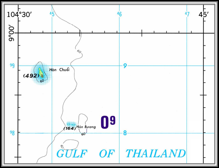
Fausse Poulo Obi Island
Île Rocky
Joint Operation Graphic (Air)
NC 48-15 Edition 5
< Île Rocky
Ship Anchored
30 December, 1965
